


Do you think you know everything about the good ol' U.S. of A.? These fascinating U.S. geography facts are guaranteed to blow your mind.

22 U.S. Geography Facts You Didn’t Learn in School


Updated on Jun. 26, 2025
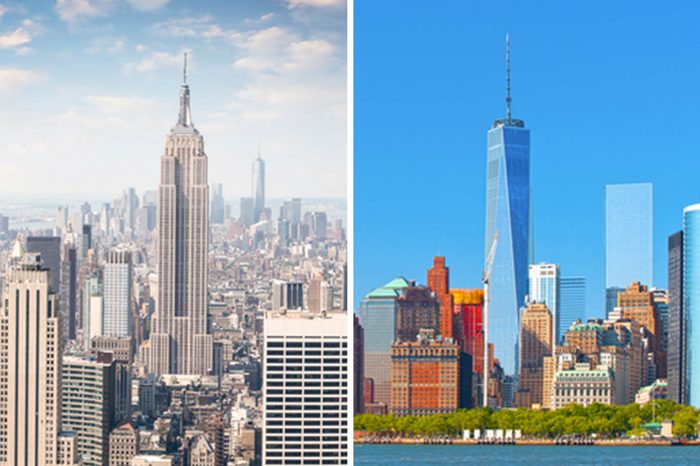
More than 40 buildings in New York City have their own zip codes
Speaking of densely populated areas, Manhattan—the most crowded of New York City’s five boroughs—is so cramped that it has more than 300 zip codes. Some skyscrapers are even large enough to have one of their very own. The Empire State, Chrysler, and MetLife buildings are just a few that can claim exclusive rights to their own unique zip code.
Alaska is the country’s westernmost AND easternmost state
When you look at a map, you’ll notice that Alaska is the westernmost part of the United States. But you might not guess that Alaska is also the country’s easternmost state, too. How could that be? The chain of Alaska’s Aleutian Islands extends out into the Eastern Hemisphere.
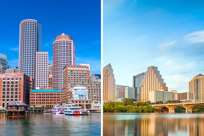
Boston and Austin are the only two U.S. state capitals with rhyming names
Raleigh and Albany? Not so much. Concord and Carson? Try again. Turns out, Boston and Austin are the only two state capital cities in the United States with names that rhyme.
From Stamford, Connecticut, all cardinal directions lead to New York
If you drove north in a straight line from Stamford, Connecticut, you would end up in the state of New York. Same goes for traveling south, west, and east (though you’d need an amphibious vehicle to complete the eastern journey). Try it for yourself!
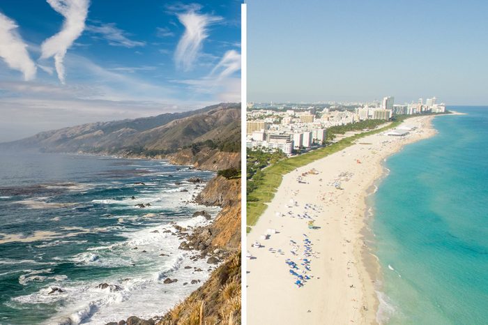
A part of Nevada is farther west than Los Angeles
California is one of the westernmost U.S. states and makes up the majority of the nation’s west coast. Meanwhile, the city of Reno, Nevada, is nearly 300 miles from the ocean (if you’re going to San Francisco). But believe it or not, Reno is roughly 86 miles farther west than the coastal city of Los Angeles.
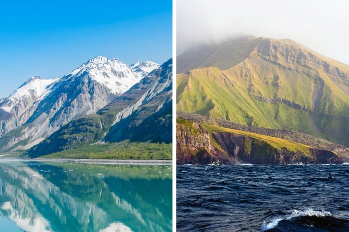
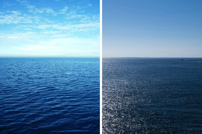
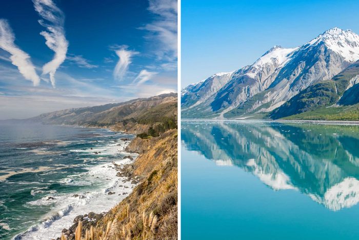
Neither Florida nor California have the longest U.S. coastline
Most people would probably guess that Florida or California have the longest coastlines in the country. But in reality, Alaska is the national coastline champ. Its coast spans 6,640 miles or 10,628 km in total—which is more than all of the other 49 states combined.
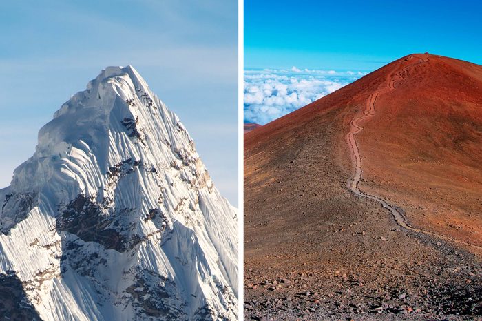
The United States boasts a mountain that is taller than Mount Everest
At 29,029 feet (or 8,848 meters), Mount Everest is considered the world’s highest mountain above sea level. However, the tallest mountain in the world is actually located in the United States. Hawaii’s Mauna Kea is nearly 33,500 feet (10,211 meters) tall when measured from the seafloor. Because it only reaches 13,796 feet (4,205 meters) above sea level—and over half of its base sits beneath sea level—it often doesn’t receive the same hype as the Himalayas.
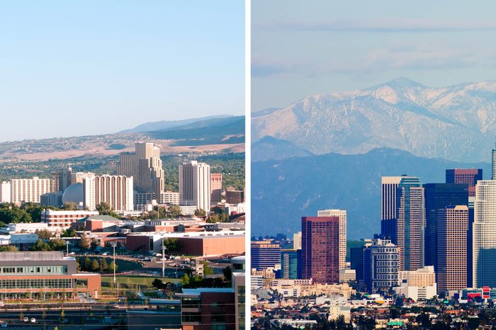
California has more residents than all of Canada
Canadian residents celebrated a milestone in 2015 when the country reached a population of 36 million for the first time. But that’s still about three million people short of California’s population. Roughly 39 million people live in the Golden State, which also happens to be the most populous state in America.
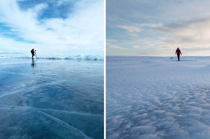
You can walk from the United States to Russia
Yes, really! During a certain time of the year (in the winter, when the ground is frozen), you can travel by foot between the United States and Russia, thanks to two islands named Big and Little Diomede. Big Diomede is the easternmost part of the Russian Federation; its neighbor, Little Diomede, is a part of Alaskan territory. When the water freezes in the winter, brave travelers can cross the short distance—about 2.5 miles—between the two islands. Do so at your own risk, though; while experts say making the journey is theoretically possible, it is dangerous and not recommended.
The United States is home to the world’s shortest river
Go ahead and name a few American rivers. The Mississippi, the Colorado and the Rio Grande might be the first to come to mind. While these famous waterways get a lot of fanfare, many forget about little Roe River in Montana. Roe only flows for about 201 feet, making it the shortest river in the world.
Two U.S. states do not share borders with any other U.S. state
They are (you guessed it!) Hawaii and Alaska. On the flip side, two other states share borders with eight states each, the most in the entire country. Missouri borders Iowa, Illinois, Kentucky, Tennessee, Arkansas, Oklahoma, Kansas and Nebraska. Meanwhile, Tennessee borders Kentucky, Virginia, North Carolina, Georgia, Alabama, Mississippi, Arkansas and Missouri.
The western United States used to have enormous lakes
During a period called the “Last Glacial Maximum” over 20,000 years ago, the states of Nevada, Utah, Oregon, and California contained bodies of water so huge they rivaled the Great Lakes. Over time, the giant lakes evaporated as global temperatures began to rise until they eventually disappeared altogether or shrank into smaller bodies of water.
A piece of Africa is underneath the United States
You might recall that long ago, a supercontinent called Pangaea broke apart to form the seven continents as we know them today. Now, 250 million years later, geologists have discovered a chunk of Africa that stuck around in North America. It’s located under Alabama, and runs through several southeastern states.
The United States borders three oceans—not just two
It is common knowledge that the United States shares a coastline with the Atlantic and the Pacific Oceans. What few realize, though, is the country also touches the Arctic Ocean along Alaska’s northern border.
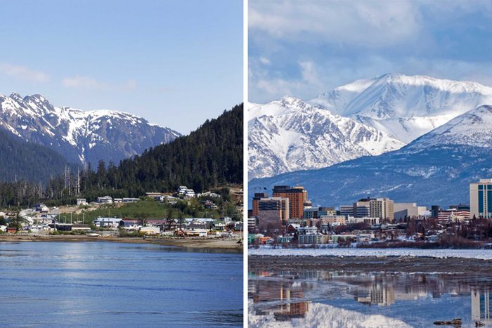
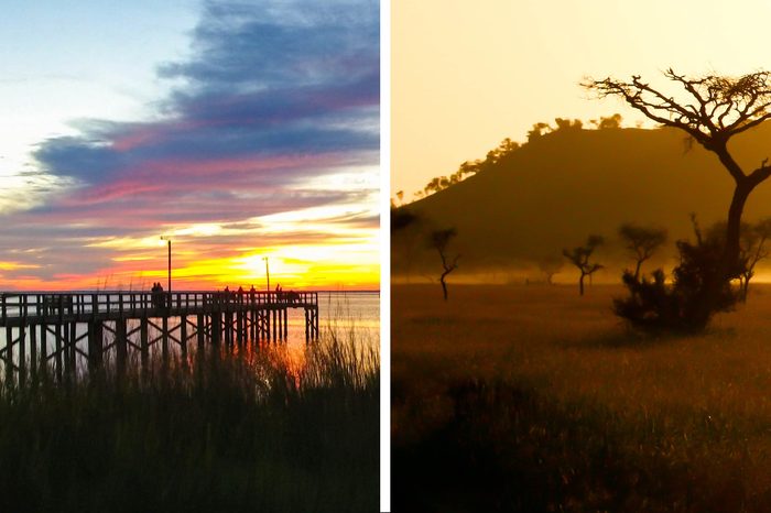
The four largest U.S. cities are in Alaska
When you think of big cities, you probably think of bustling metropolises like New York, Chicago and L.A. While those cities might be some of the most highly populated, they aren’t the biggest in terms of area. All of the four most sprawling cities are in Alaska: Sitka, Juneau, Wrangell and Anchorage.
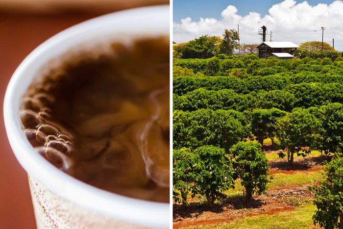
Only one U.S. state grows coffee
Sorry, local foodies, but most of your beans will have to come from overseas. The only place you’ll find coffee beans growing in the United States (barring Puerto Rico) is Hawaii. And even more surprisingly, the pineapples that made Hawaii famous were originally imported there from South America and Florida used to be the primary U.S. pineapple state.
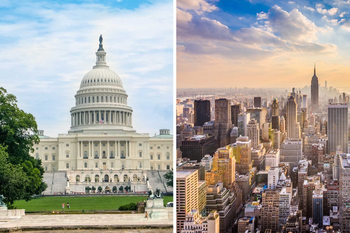
America’s first capital wasn’t Washington, D.C.
And nope, it wasn’t Philadelphia either. When the U.S. Constitution was ratified, the country’s capital was New York City, where it stayed for two years before moving to Philly, then D.C.

Los Angeles used to have a much longer name
Historians dispute what the first settlers called the city, but they can at least agree it was longer than “L.A.” According to the City of Los Angeles, it was first known as El Pueblo de Nuestra Señora la Reina de los Ángeles de Porciúncula but eventually shortened because, well, that was quite the mouthful.
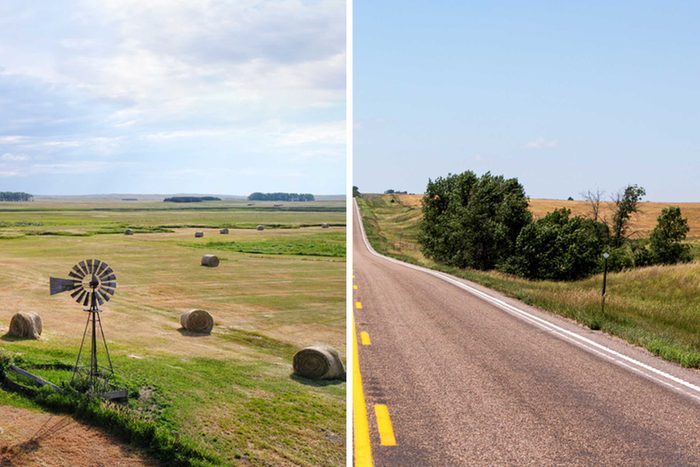
Only one state is “triply landlocked”
A landlocked state doesn’t touch an ocean, gulf, or bay and its access to an ocean is blocked by one other state. A doubly landlocked state means you’d need to travel through two other states (or a state and a Canadian province) to get to one of those bodies of water. The only state that’s triply landlocked—is three states/provinces away from the ocean on every side—is Nebraska.
The state with the most earthquakes isn’t California
The Golden State might be known for its crazy-frequent earthquakes, but it’s actually not the top state for shakes. Alaska has more earthquakes every year than any other state, thanks to the fact that it sits on one of the world’s fastest-moving underwater tectonic faults.
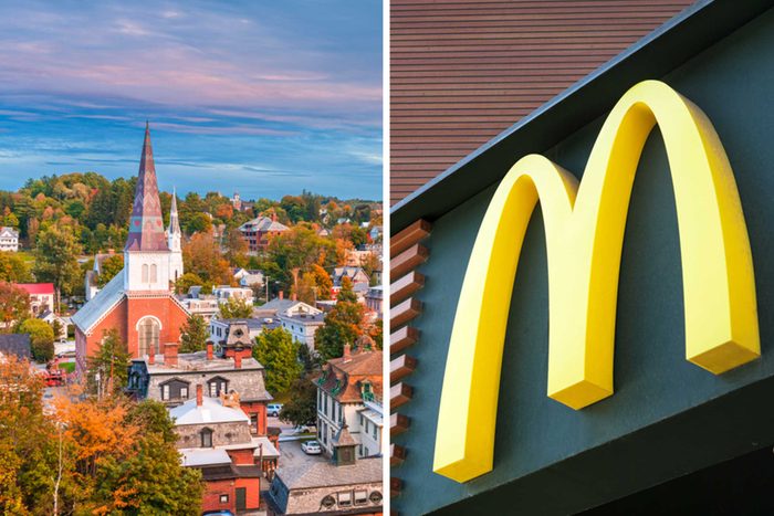
There’s only one U.S. capital without a McDonald’s
You can’t make a trip to Montpelier, Vermont, and expect to get a Big Mac without traveling to another town. It also happens to be the smallest U.S. capital, which could explain its lack of Golden Arches.
The U.S. border is next to more than two countries
Of course, the continental United States is south of Canada and north of Mexico, but that’s not all. If you include ocean borders, America is also neighbors with Russia, Cuba, and the Bahamas.
Why trust us
At Reader’s Digest, we’re committed to producing high-quality content by writers with expertise and experience in their field in consultation with relevant, qualified experts. We rely on reputable primary sources, including government and professional organizations and academic institutions as well as our writers’ personal experiences where appropriate. We verify all facts and data, back them with credible sourcing and revisit them over time to ensure they remain accurate and up to date. Read more about our team, our contributors and our editorial policies.
Sources:
- State of Alaska. “Geography of Alaska”
- Geography Realm. “From Which U.S. City Can You Travel North, South, East, or West and End up in the Same State?”
- National Ocean Service. “Accurate Positioning Data for Alaska and the Arctic”
- U.S. Geological Survey. “How big are the Hawaiian volcanoes?”
- National Park Service. “How Close is Alaska to Russia?”
- Visit Great Falls. “Roe River”
- Phys.org. “Scientists solve mystery of ancient American lakes”
- The Times. “Chunk of Africa found hidden under Alabama”
- World Population Review. “Largest Cities in the United States by Area”
- Hawaii Coffee Association. “The Aloha State”
- New York State. “First Capital of the Nation”
- City of Los Angeles. “The History of Los Angeles”
- CNN. “Alaska has the most earthquakes in the US. Here’s why”
- Food Republic. “Starbucks And McDonald’s Don’t Have Locations In One Picturesque State Capital”